Which is the richest municipal corporation in India?
The Brihanmumbai Municipal Corporation (BMC) of The City of Mumbai is the richest municipal corporation in India.


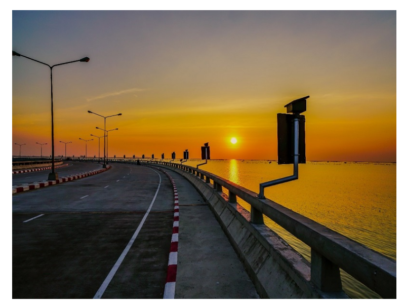
Brihanmumbai Municipal Corporation
MAP OF MUMBAI


Mumbai
map primarily features two separate regions - Mumbai City district
(Island City or South Mumbai) and Mumbai Suburban district, which are
the twin distinct revenue districts of Maharashtra. The city of Mumbai
itself is spread across an area of 603.4 km2 (233 sq mi). It is situated
at the cavity of Ulhas River on the western coast of India known as the
Konkan coast. As per the map of Mumbai, the city faces the Arabian Sea
to its west.
Mumbai city gets its water supply for domestic, industrial and agriculture use from the Bhatsa Dam, and six major lakes namely Vihar, Lower Vaitarna, Upper Vaitarna, Tulsi, Tansa and Powai. Mumbai map shows the coastline having been divided with a number of creeks and bays, ranging from the Thane creek on the eastern front to Madh Marve on the western front.
Mumbai’s soil is mainly sandy owing to its closeness to the sea. The suburban soil cover is by and large alluvial and loamy. The elemental rock of Mumbai is made of black Deccan basalt flows, and their acidic and basic versions belong to the late Cretaceous and early Eocene eras. Like Delhi and other Indian cities, Mumbai happens to be another seismically active zone due to the presence of 23 fault lines not too far from the region, and falls under the category of Seismic Zone III region, which implies that it is highly prone to an earthquake of up to magnitude 6.5 on the Richter scale.


The Navi Mumbai Municipal Corporation (NMMC) is the municipal organisation of Navi Mumbai, Maharashtra. On 17 December 1991 NMMC was constituted. NMMC came in to existence on January 1, 1992.


1) Central Park, Kharghar,
2) Wonders Park, Nerul
3) Rock Garden, Nerul
4) Mini Seashore, Vashi
5) Karnala Bird Sanctuary, Navi Mumbai
6) Millennium Business Park, Mahape
7) Seawoods Grand Central Mall, Seawoods,
8) Jewel of Navi Mumbai, Nerul
9) Fish Market Diwalegaon CBD Belapur
10) ITC Park CBD BELAPUR Navi Mumbai
11) Big Malls Raghuleela Inorbit Vashi
12) Seashore walking track CBD Belapur
13) Best Hotels Restaurants in CBD Belapur
14) ISKCON PARSIK HILL CBD BELAPUR NAVI MUMBAI


Mumbai Map
Mumbai city gets its water supply for domestic, industrial and agriculture use from the Bhatsa Dam, and six major lakes namely Vihar, Lower Vaitarna, Upper Vaitarna, Tulsi, Tansa and Powai. Mumbai map shows the coastline having been divided with a number of creeks and bays, ranging from the Thane creek on the eastern front to Madh Marve on the western front.
Mumbai’s soil is mainly sandy owing to its closeness to the sea. The suburban soil cover is by and large alluvial and loamy. The elemental rock of Mumbai is made of black Deccan basalt flows, and their acidic and basic versions belong to the late Cretaceous and early Eocene eras. Like Delhi and other Indian cities, Mumbai happens to be another seismically active zone due to the presence of 23 fault lines not too far from the region, and falls under the category of Seismic Zone III region, which implies that it is highly prone to an earthquake of up to magnitude 6.5 on the Richter scale.
Mumbai Overview
Mumbai is the most populous metropolitan city in India. This city of dreams is a popular tourist destination throughout the year for various interesting sights, beaches, nightlife and most of all Bollywood. Located in Mumbai’s central area, Prabhadevi temple is the most revered Lord Ganesha’s temple not only of Maharashtra but in fact in all of India.
Navi Mumbai Municipal Corporation


The Navi Mumbai Municipal Corporation (NMMC) is the municipal organisation of Navi Mumbai, Maharashtra. On 17 December 1991 NMMC was constituted. NMMC came in to existence on January 1, 1992.


| Best Places To Visit In Navi Mumbai | |
2) Wonders Park, Nerul
3) Rock Garden, Nerul
4) Mini Seashore, Vashi
5) Karnala Bird Sanctuary, Navi Mumbai
6) Millennium Business Park, Mahape
7) Seawoods Grand Central Mall, Seawoods,
8) Jewel of Navi Mumbai, Nerul
9) Fish Market Diwalegaon CBD Belapur
10) ITC Park CBD BELAPUR Navi Mumbai
11) Big Malls Raghuleela Inorbit Vashi
12) Seashore walking track CBD Belapur
13) Best Hotels Restaurants in CBD Belapur
14) ISKCON PARSIK HILL CBD BELAPUR NAVI MUMBAI